Construction & Mining
Build reliable autonomy faster with Foxglove.
Foxglove's advanced interactive debugging and data management platform empowers you to accelerate development, optimize operations, and ensure the safety of autonomous machinery and robotics in the field.
Leading Physical AI companies build with Foxglove.


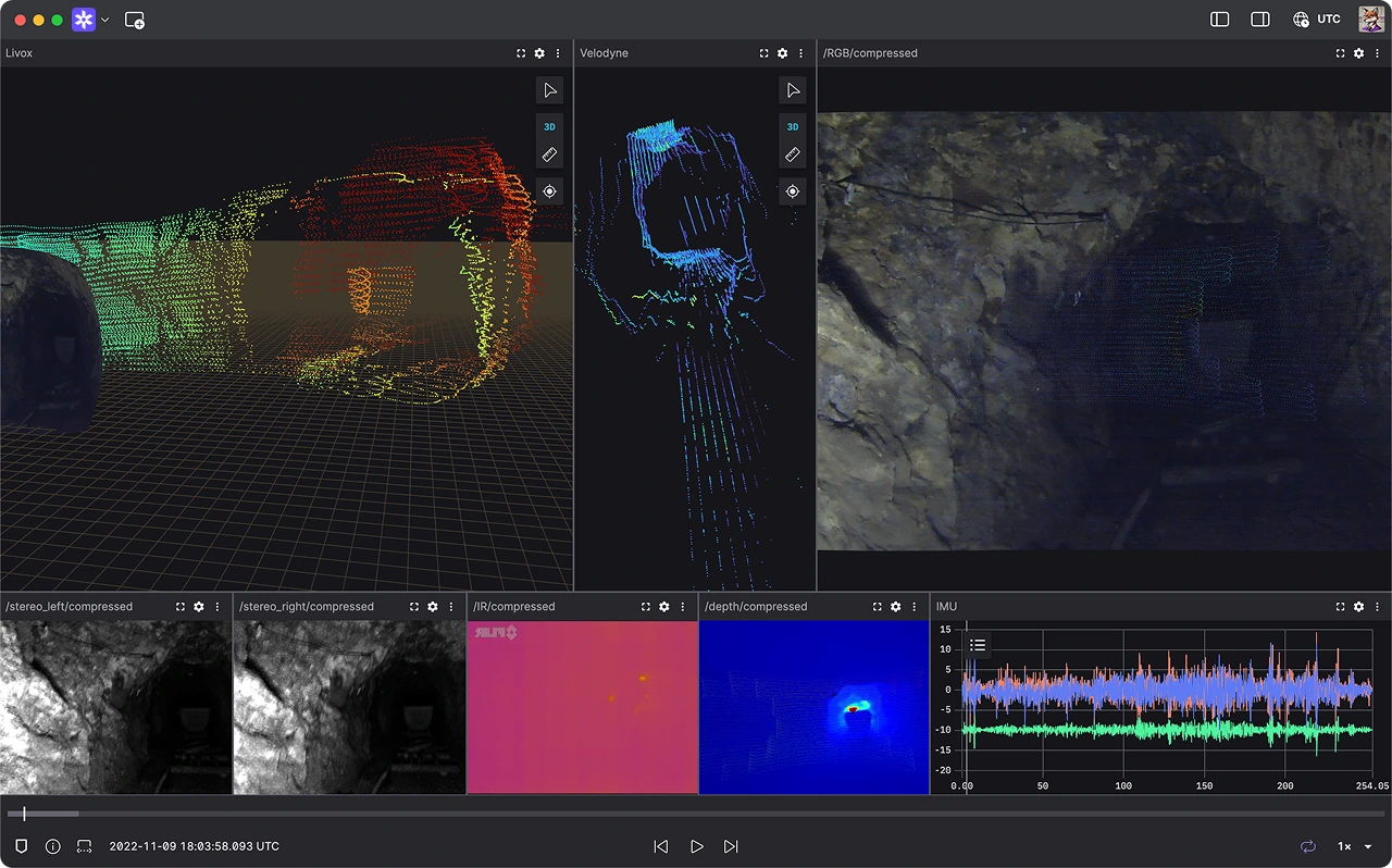
Visualization
Debug all your robotics data in one place.
Simplify the ingestion, visualization, and debugging of diverse sensor data—from lidar and cameras to IMUs and GNSS. Use geospatial data to pinpoint navigation errors while leveraging rich, intuitive 3D scenes, plots, and other panels to optimize performance, enabling you to build reliable robots—faster.
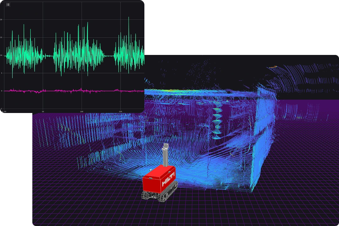
Analysis
Optimize your fleets and operations.
Remotely debug your robots and track key metrics like battery levels and sensor health, making it easier to identify and resolve issues while reducing downtime and on-site troubleshooting. From self-driving haul trucks to robotic excavators and surveying drones—uncover patterns, optimize workflows, and ensure smooth fleet operations.
Leading robotics teams build reliable robots with Foxglove.
“With Foxglove, we've saved over $200,000 in engineering time annually and freed up three engineers to focus on core autonomy development.”

Ross Walker
Head of Product at AIM
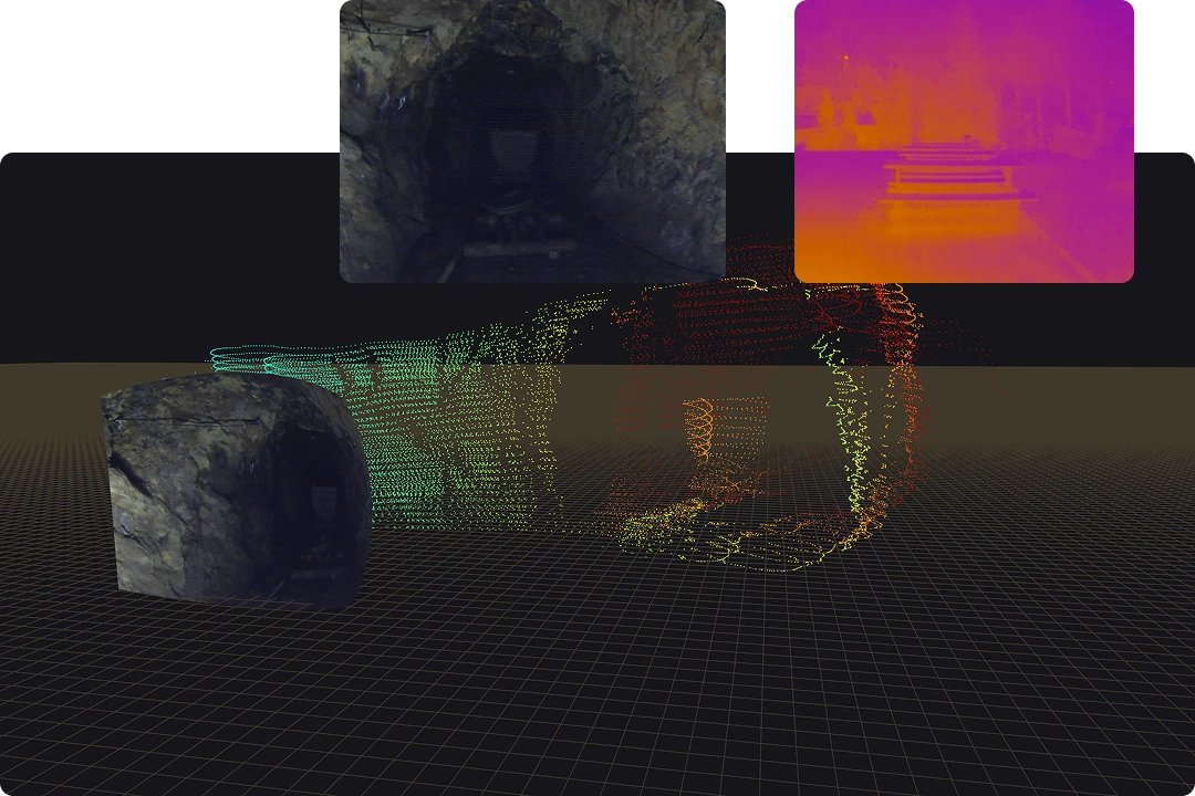
Data Management
Collaborate across the org with ease.
Stream live data and centralize all your recorded data from fleets of autonomous dozers, loaders, and drilling machines to replay missions and debug performance, ensuring operators and engineers maintain full situational awareness and control.

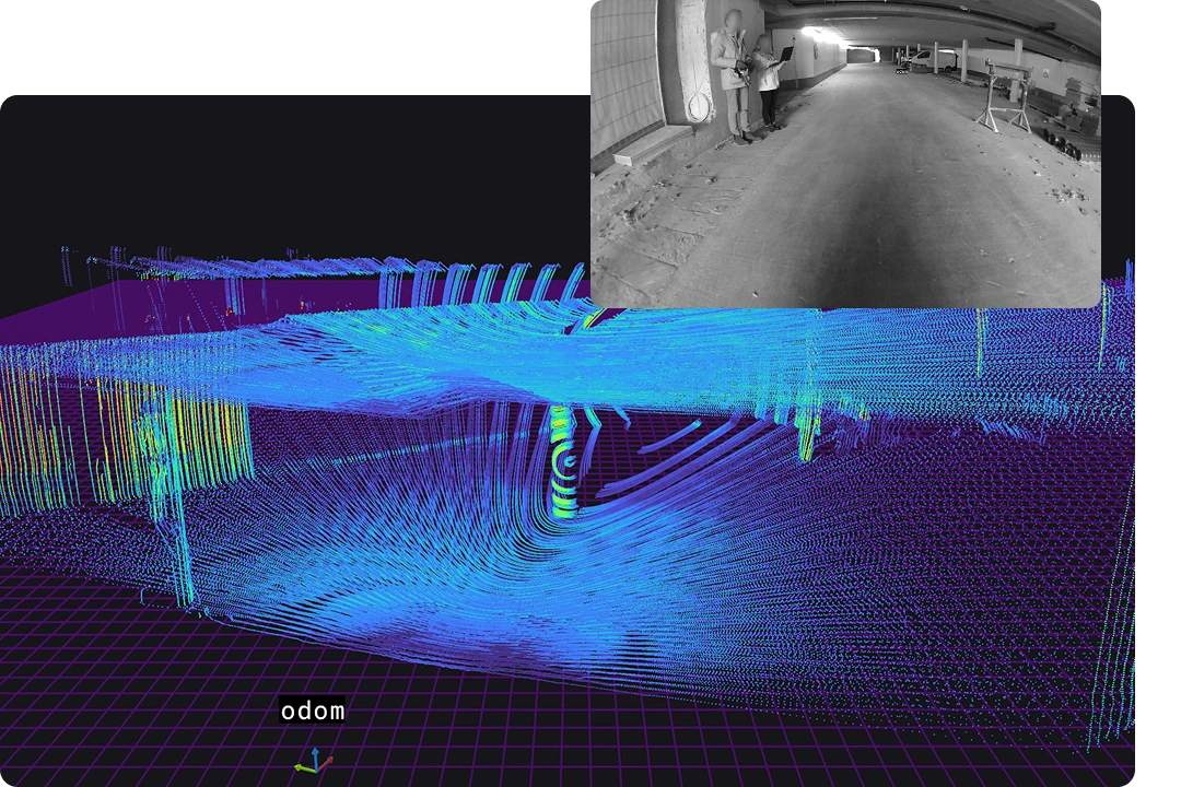
Connecting to data
Connect to all your data from anywhere.
Eliminate the friction of jumping between tools—Foxglove supports hybrid cloud and edge deployments, allowing real-time data access and processing even in remote locations with limited connectivity, so you can move faster, debug smarter, and make data-driven decisions everywhere you are.
Data Management
Foxglove streamlines your data management, so you can focus on building reliable robots, faster.
Foxglove simplifies data serialization, transportation, and processing—whether you're dealing with asynchronous data streams from diverse sources or trawling through petabytes of recorded data.

